Geodata for Wildlife Conservation
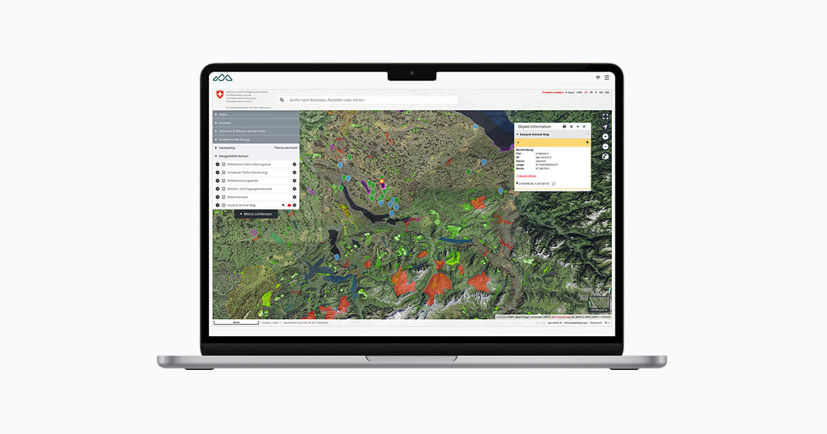
Table of Contents
A new map module for vetEPD: sharper decisions through swisstopo and smart wildlife data
Wildlife rescue centres today face a challenge that reaches beyond documentation: find sites, injury patterns, and release locations need to be understood spatially, not just recorded. Habitats shift, danger zones move, and many conservation measures only become effective when seen in their geographic context.
With our new map module, we bring professional Swiss geodata — swisstopo and the public GEO catalogue — together with your own wildlife data inside Exolynk vetEPD. Live, interactive, and immediately usable by biologists, animal welfare staff, and wildlife veterinarians, without GIS expertise required.
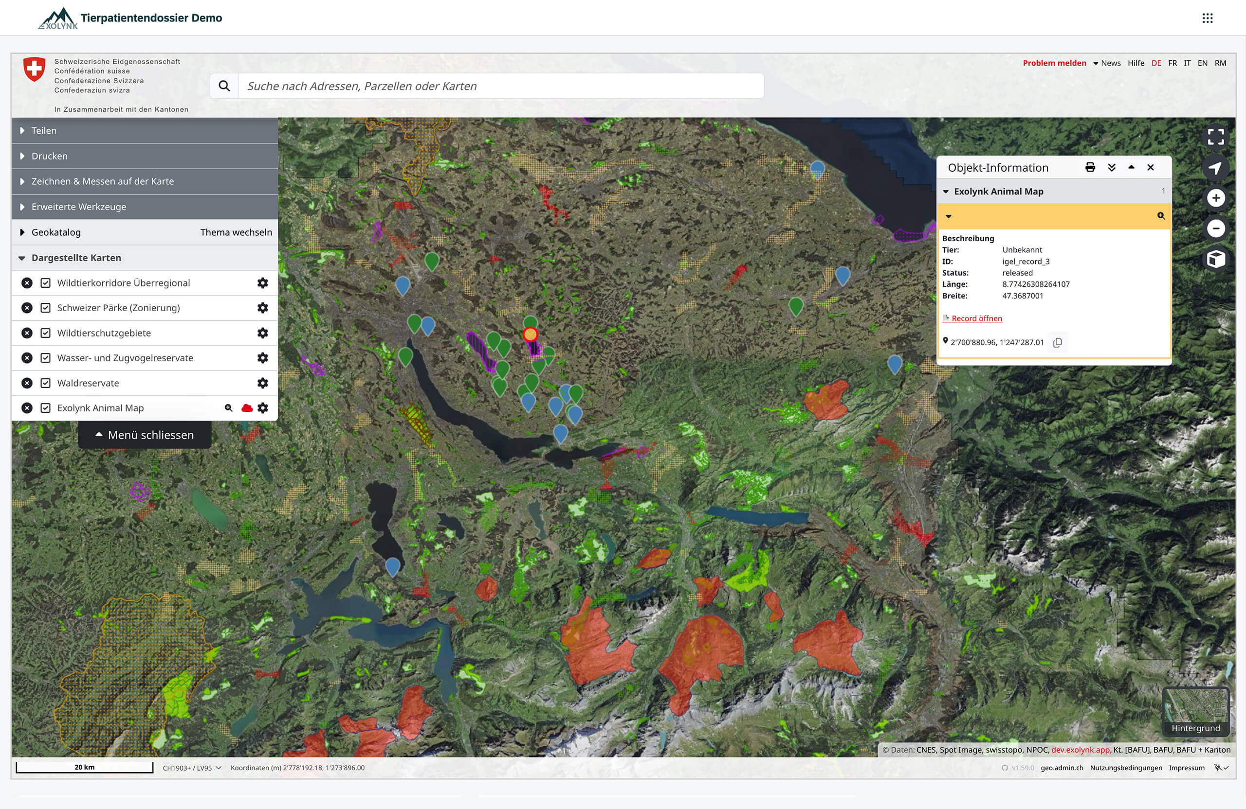
Find and release sites — live on the map, inside vetEPD
Thanks to the newly integrated map view, find sites and release locations render automatically from their GPS coordinates. The view updates in real time:
- New cases appear instantly on the map
- Associations, rangers, and field teams see developments as they happen
- Critical spatial patterns surface without additional GIS know-how
Especially in fast-moving situations — clusters of vehicle collisions, seasonal amphibian migrations — this enables faster reactions and better operational management.
Filters that make sense — biologically and operationally
The map isn’t just a visualisation. It’s an analytical tool. Powerful filters let you display cases selectively, by:
- Find or release date
- Species or species group
- Injuries and pathologies
- Diagnoses and findings
- IUCN status (e.g. near threatened, vulnerable, endangered)
This lets you answer questions like:
- Which species are particularly affected this year?
- Are there regional hotspots for specific injury types?
- Which areas are ecologically most suitable for release?
Combining veterinary data with geodata creates a new quality of insight — previously only possible with external GIS systems.
Protected areas, habitats, and corridors — understanding nature before deciding
Through the integration of swisstopo and the public GEO catalogue, vetEPD can now overlay layers like:
- Nature and landscape conservation areas
- Emerald and BLN (federal landscape inventory) areas
- Wildlife corridors and connectivity axes
- Biotopes of national importance
- Forest edges, water networks, contour lines, slope gradients
These layers enable a well-founded ecological assessment:
- Releases can be planned location-appropriately — wetlands for amphibians, forest edges for songbirds.
- Corridors and barriers become visible — essential for highly mobile species like foxes, deer, or raptors.
- Protected areas can be considered specifically to minimise stress on endangered species.
Spatial visualisation brings scientific foundations directly into the day-to-day work of animal care.
Metadata on the map — more context per case
A click on any marker surfaces the linked vetEPD record, including:
- Species and sex
- Findings, injuries, diagnoses
- Find circumstances and notes
- Care history
- Release details
This produces an immediate understanding of why an animal was found where it was — and which factors may have contributed.
Spotting ecological patterns — and making challenges visible
With the new map logic, rescue centres can answer questions that previously required tedious manual analysis:
- Are hedgehog finds clustering along specific roads?
- Are there regions where injured raptors appear more frequently?
- Which landscape structures correlate with the appearance of certain species?
- How do find patterns shift across seasons?
Analyses like these are central to identifying anthropogenic mortality factors — traffic, building collisions, recreational disturbance, habitat destruction. The patterns that were invisible in tabular data become obvious the moment you overlay them on a map.
A solid foundation for research, monitoring, and collaboration
The new map function supports daily operations — and also:
- Long-term population monitoring
- Scientific studies
- Reports for federal and cantonal authorities
- Planning of preventive measures
- Environmental education projects
- Shared data use across multiple stations
Because every station uses the same maps, the same layers, and the same filters, a shared spatial understanding emerges. That shared understanding is what makes coordinated, network-wide conservation possible.
Export and further analysis — KML for any GIS
All displayed data can be exported as KML — perfect for:
- QGIS / ArcGIS
- Other GEO portals
- Research projects
- Authority reports
vetEPD stays open and compatible with the wider GIS world, enabling professional downstream analysis without lock-in.
Professional Swiss geodata — no licensing hurdles, no GIS expertise required
Through integration of the official map viewer, high-quality and continuously updated Swiss geodata becomes usable inside vetEPD — without additional software or GIS knowledge. The data comes directly from the responsible authorities (swisstopo, federal offices, cantons), guaranteeing maximum accuracy and reliability.
For users, this means:
- A solid foundation for release decisions
- A scientifically defensible data base
- Less time spent on external searches and downloads
- Maximum transparency for staff and authorities
Conclusion: a new dimension of veterinary nature conservation
With the new map function, Exolynk vetEPD becomes a tool that brings biological, veterinary, and geographic information together in one place. Find sites turn into insights. Release decisions become precise, data-driven processes. Animal welfare organisations gain an instrument that supports both daily care and serious scientific work.
This extension is a step toward modern, networked, and ecologically grounded wildlife medicine — and we’re looking forward to evolving it together with you.